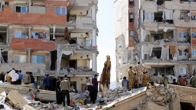
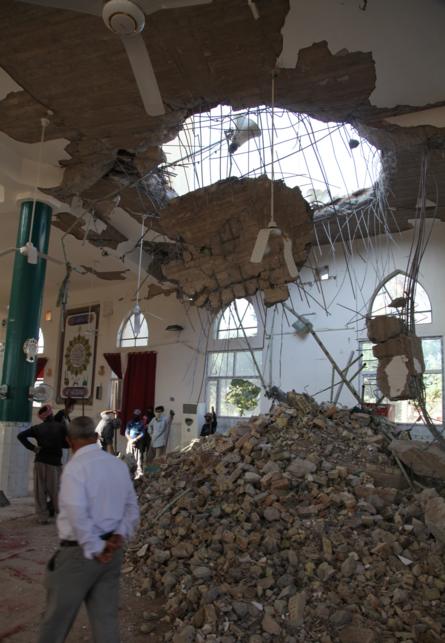
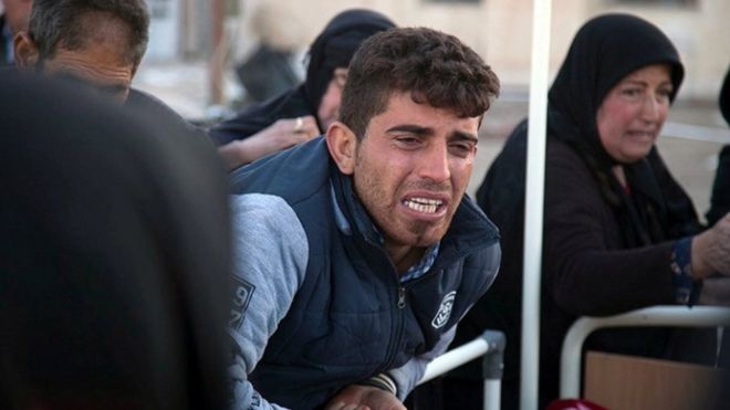
A 7.3-magnitude earthquake has
shaken the northern border region between Iran and Iraq, killing at
least 396 people and injuring thousands more.
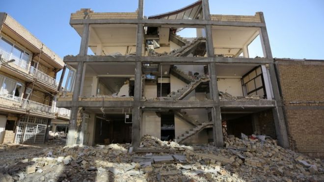
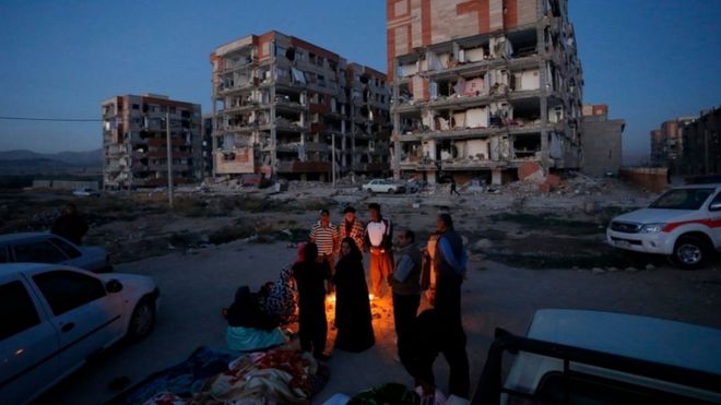
More than 7,000 people are also said to have been injured in the quake, the world's deadliest this year.Most of those who died were in Iran's western Kermanshah province, where a search for survivors has started.
Nine more people died in Iraq, where residents fled from their homes into the streets in the capital, Baghdad.
"I was sitting with my kids having dinner and suddenly the building was just dancing in the air," a Baghdad resident, Majida Ameer, told Reuters news agency.
"I thought at first that it was a huge bomb. But then I heard everyone around me screaming: 'Earthquake!'"
Comments
Post a Comment